Tag Archives: maps

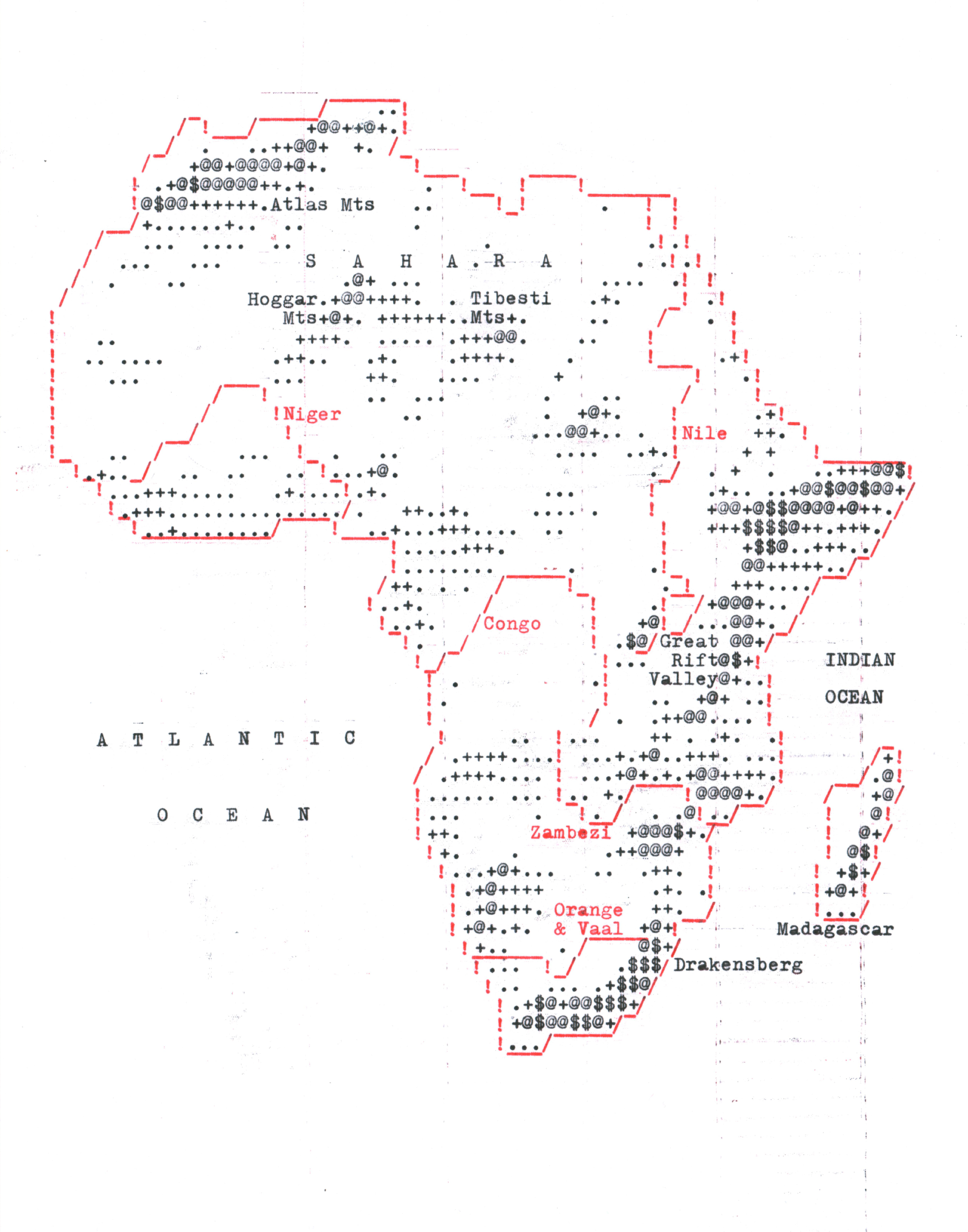
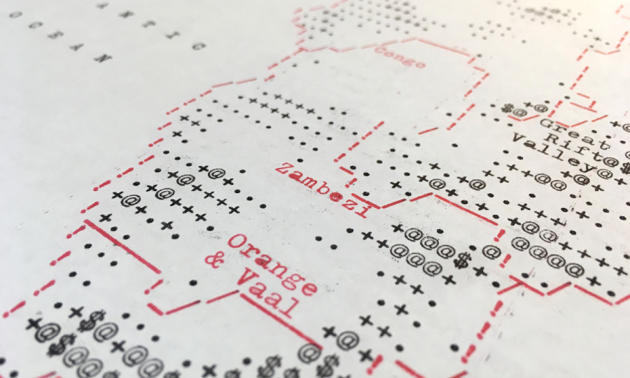
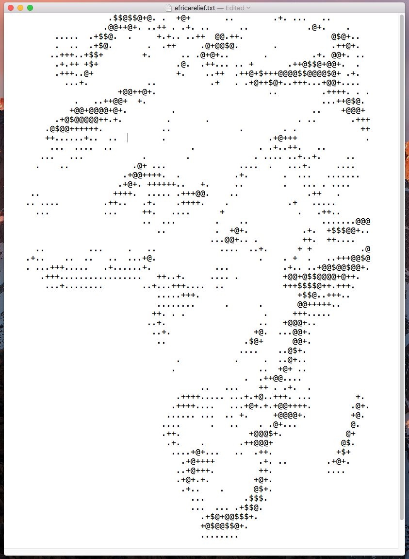
Typewriter map of Africa by the cartographer Daniel Huffman. It was done by resizing a map of Africa into 75×60 pixels, add a shaded relief, categorize each pixel according to intensity, convert it to ASCII, add details in Illustrator, and then type it on a typewriter.

More info and images here.

Archeological maps in ASCII from 1975. A good way of visualizing spatial and other information simultaneously, and obviously a forerunner to both text adventure maps and modern cartography, as noted here.

Also check the typewriter maps, fat font for text-mode infovis & the virus map.

Virus world map, ASCII-version. Updated in real-time – see video. Made by Jyrki Muukkonen, 2012.

source

Stamen Design mapping energy efficinecy, in text mode style, via.

Making Maps with a Typewriter, via.